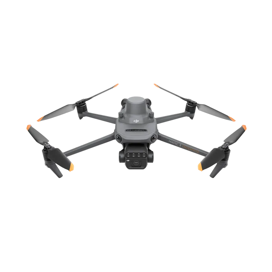
DJI Mavic 3 Multispectral, also called Mavic 3M, combines visible-light and multispectral imaging for agricultural surveys. Its RGB camera records field detail, while four spectral cameras capture green, red, red-edge and near-infrared data. DJI product overview.
Imaging configuration
The aircraft carries a 20 MP Four Thirds RGB sensor and four 5 MP multispectral cameras. DJI lists TIFF output for multispectral photographs and RTK positioning support. This combination is intended for mapping and crop assessment rather than spraying. Camera and aircraft specifications.
Planning a mapping workflow
Compare the aircraft package together with correction services, image-processing software and the required map outputs. Field observations remain useful when interpreting vegetation differences. Obtain current local pricing and included software details from an authorized supplier.
Technical specifications
Manufacturer specifications; configuration and operating conditions apply.
| Specification | Value |
|---|---|
| RGB camera | 20 MP, 4/3 CMOS, mechanical shutter |
| Multispectral cameras | 4 × 5 MP |
| Spectral bands | Green, red, red edge, near infrared |
| Multispectral image format | TIFF |
| Positioning | RTK-capable |