توضیحات
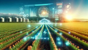
KERMAP specializes in providing satellite-based agricultural monitoring solutions that significantly enhance crop management through precise data analysis. By utilizing high-resolution satellite imagery coupled with advanced AI algorithms, KERMAP offers actionable insights that enable farmers, agronomists, and agricultural businesses to monitor crop health, detect early signs of disease or pest infestation, and optimize resource usage.
نظارت جامع بر محصولات زراعی
KERMAP’s technology allows for detailed observation and analysis of crop conditions across vast areas. This capability supports the identification of dominant crop types and provides end-of-season and in-season yield estimates. Such granularity supports farmers in making informed decisions that enhance crop productivity and sustainability.
Pest and Disease Detection
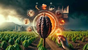
Early detection of pests and diseases is critical for preventing widespread crop damage. KERMAP’s system analyzes satellite data to identify anomalies in crop health that may indicate the presence of pests or diseases. This early warning system enables timely intervention, potentially saving vast areas of crops from significant harm.
Input Optimization
Precision agriculture relies on the efficient use of resources such as water, fertilizers, and pesticides. KERMAP’s insights help in determining the exact needs of crops, thereby reducing wastage and environmental impact. By tailoring the application of agricultural inputs, farmers can not only cut costs but also support more sustainable farming practices.
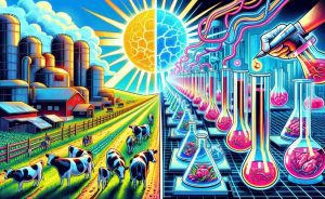
Supporting Sustainable and Regenerative Agriculture
Through detailed monitoring of soil cover and biomass, KERMAP plays a pivotal role in regenerative agriculture initiatives. By providing data on soil conservation practices and the effectiveness of cover crops, the platform helps in quantifying and validating agroecological transitions towards more sustainable agricultural methods.
مشخصات فنی
- Satellite Imagery Detail: Utilizes both optical and radar data for comprehensive field analysis.
- Crop Identification Coverage: 30 crop classes in France and 22 across other European countries.
- Soil Cover Analysis: Measures soil cover duration and heterogeneity within fields.
- Biomass Estimation: Calculates the biomass of cover crops, aiding in carbon sequestration assessments.
About KERMAP
Founded with the vision to integrate cutting-edge satellite and AI technologies, KERMAP is headquartered in France, deeply rooted in the nation’s innovative technology landscape. With years of experience in remote sensing and environmental monitoring, KERMAP has established itself as a key player in agricultural analytics.
KERMAP’s solutions are designed to be seamlessly integrated into existing agricultural management systems, providing ease of access through APIs and customized dashboards. This integration capability makes KERMAP a preferred partner for agribusinesses looking to adopt advanced technological solutions.
For more detailed insights and information, please visit: KERMAP’s website.