Description
AcreValue is an all-in-one platform designed to help users discover farmland values, land sales, and land listings across the U.S.
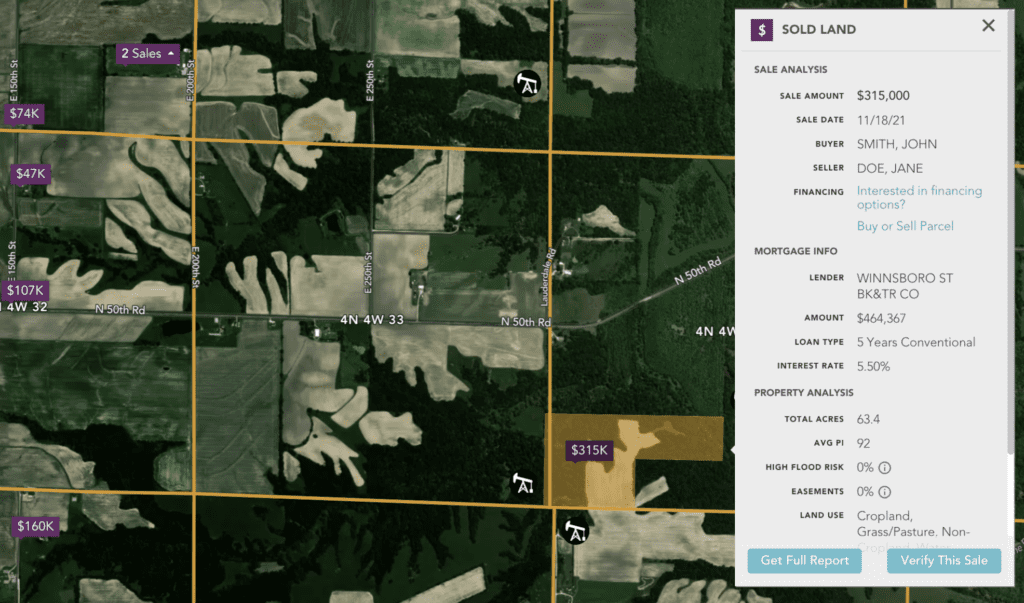
AcreValue is a comprehensive platform for discovering farmland values, land sales, and listings across the U.S. With features like mortgage data, carbon credit potential, critical energy infrastructure data, parcel ownership, and more, users can make informed decisions on buying or selling land. Additionally, AcreValue offers land valuation, crop history, soil surveys, satellite imagery, and community networking opportunities. Stay up-to-date with market trends through AcreValue’s market reports and benefit from the extensive nationwide reach of the AcreValue Community.
Key features include:
- Mortgage Data: Access mortgage information for monitoring trends, observing activity, tracking prices, and identifying marketing opportunities.
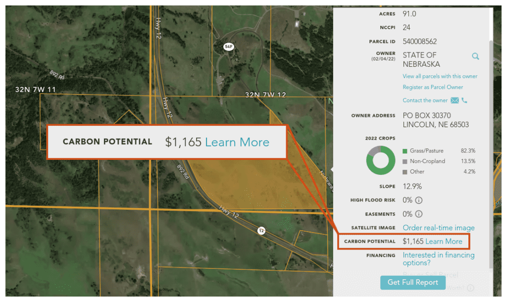
- Carbon Credit Potential: Estimate carbon credit income potential for adopting carbon farming practices that boost soil health, water retention, and reduce erosion.
- Land Listings: Browse thousands of active listings for farms, ranches, timberland, hunting land, and more.
- Energy Infrastructure Data: Assess a property’s access and proximity to critical energy and infrastructure resources, such as substations, wind turbines, oil and gas wells, power plants, and biofuel plants.
- Parcel Ownership: View parcel information, claim land you own, and connect with the agricultural community to build your network.
- AcreValue Community: Search for land sales, real estate support, and new opportunities while connecting with landowners, farmers, and land professionals in your area.
- Market Reports: Stay informed about trends in rural and agricultural land markets by subscribing to the AcreValue Market Reports.
- Comp Sales: Browse agricultural land sales, view sale data, and build comparable sales reports.
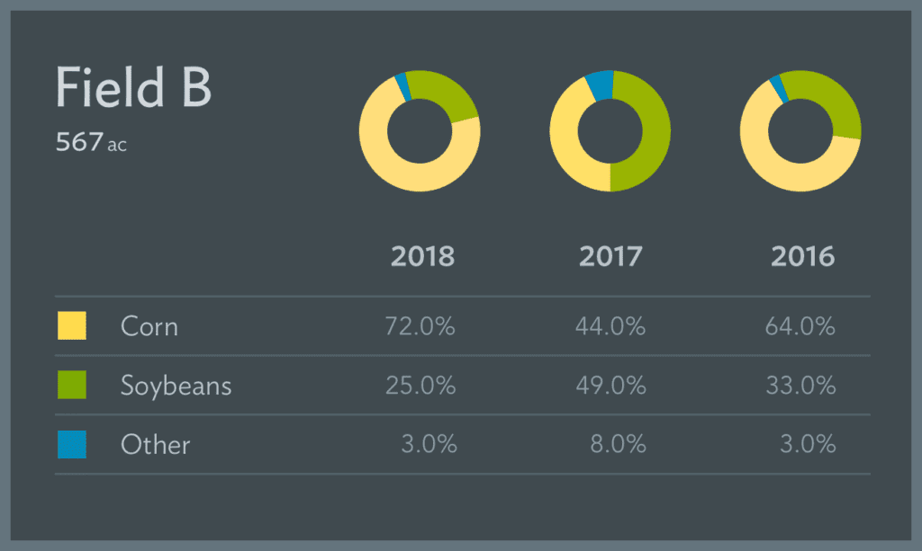
- Crop History: Instantly view crop history for fields, including past year data or a full report for the last five years of crop rotation.
- Land Valuation: Access advanced land value insights using AcreValue’s data-driven valuation algorithm.
- Satellite Imagery: Task near real-time high-resolution SkySat imagery from Planet to monitor your land.
- Soil Survey: View a field’s average productivity rating and download a detailed map of soil composition.
By leveraging AcreValue’s diverse features and resources, users can make informed decisions when buying or selling land and stay up-to-date on market trends and opportunities.
